Description
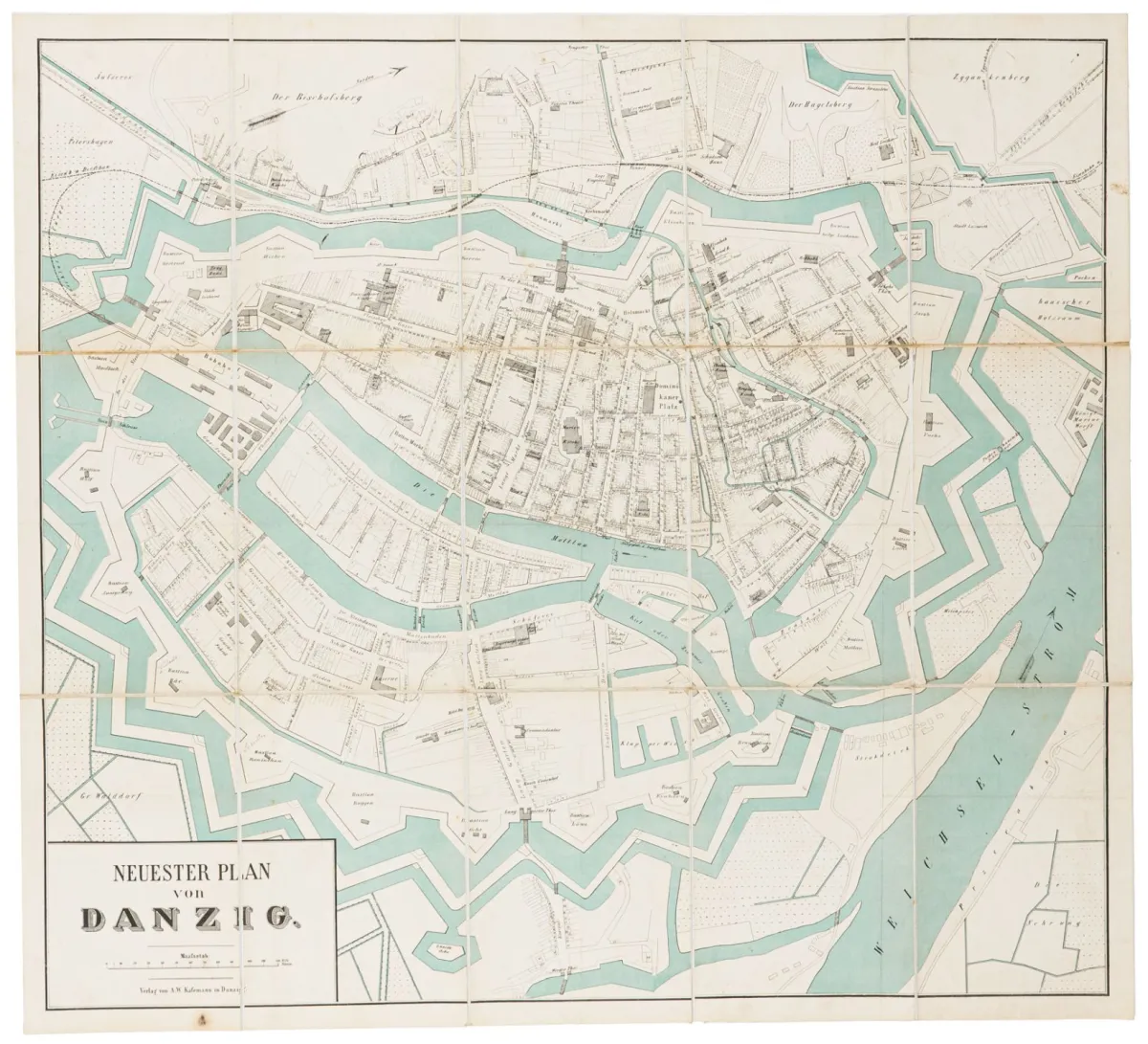
Neuester Plan von Danzig. Lithographed map, waters in blue. Scale: approx. 1:4500. 57 x 63 cm. Danzig, Kafemann, around 1860. In 15 segments mounted on linen. In cardboard slipcase. Slightly stained on the reverse.
Neuester Plan von Danzig. Lithographierte Karte, Gewässer in Blau. Maßstab: ca. 1:4500. 57 x 63 cm. Danzig, Kafemann, um 1860. In 15 Segmenten auf Leinen gezogen. In Pappetui. Rückseitig leicht fleckig.
Machine translation. The seller's German text is authoritative.
Sale conditions
According to the sale terms: « Aufbewahrung und Versand erfolgen auf Rechnung der Käufer; die Kosten für Versand, Verpackung und Versicherung werden mit der Gesamtrechnung berechnet. »
About the sale
Europe – Poland – Neuester Plan von Danzig. Lithographed map, waters in blue. Scale: approx. 1:4500. 57 x 63 cm.
Original titleEuropa - Polen – Neuester Plan von Danzig. Lithographierte Karte, Gewässer in Blau. Maßstab: ca. 1:4500. 57 x 63 cm. Danzig, Kafemann, um…

Similar lots


 No bids
 No bids