Description
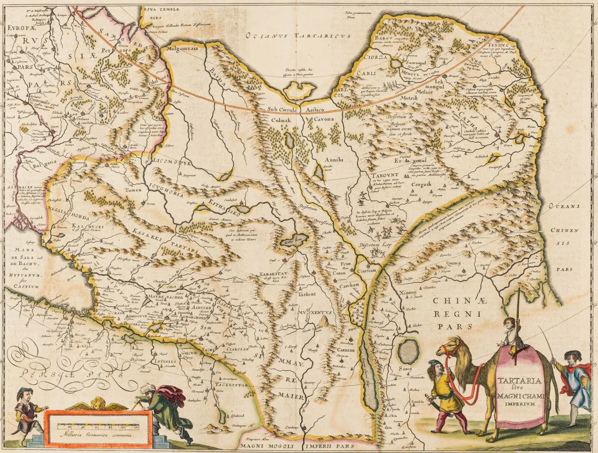
Tartaria sive Magni Chami Imperium. Old-colored copper engraving map by Willem Jansz. Blaeu around 1640. Plate dimensions: 38.5 × 50 cm. Sheet dimensions: 48 x 56 cm. Cat. Gotha Amerika 23. - Decorative map of the area between the Barents Sea, Arctic Ocean, Lake Baikal and Caspian Sea with depiction of the Great Wall of China. With a pretty figurative cartouche and a mile indicator with costume figures. - Verso with Latin text. - Center fold, slightly browned and minim
Tartaria sive Magni Chami Imperium. Altkolorierte Kupferstich-Karte von Willem Jansz. Blaeu um 1640. Plattenmaße: 38,5 × 50 cm. Blattmaße: 48 x 56 cm. Kat. Gotha Amerika 23. - Dekorative Karte des Gebietes zwischen Barents See, Eismeer, Baikalsee und Kaspischem Meer mit Einzeichnung der Chinesischen Mauer. Mit hübscher figürlicher Kartusche und Meilenzeiger mit Kostümfiguren. - Verso mit lateinischem Text. - Mittelfalte, leicht gebräunt und minimal fleckig.
Machine translation. The seller's German text is authoritative.
Sale conditions
According to the sale terms: « Aufbewahrung und Versand erfolgen auf Rechnung der Käufer; die Kosten für Versand, Verpackung und Versicherung werden mit der Gesamtrechnung berechnet. »
About the sale
Asia - Siberia – Tartaria sive Magni Chami Imperium. Old-colored copper engraving map by Willem Jansz. Blaeu around 1640.
Original titleAsien - Sibirien – Tartaria sive Magni Chami Imperium. Altkolorierte Kupferstich-Karte von Willem Jansz. Blaeu um 1640. Plattenmaße: 38,5…

Similar lots
 No bids
 1 bid
 No bids
 No bids