Description
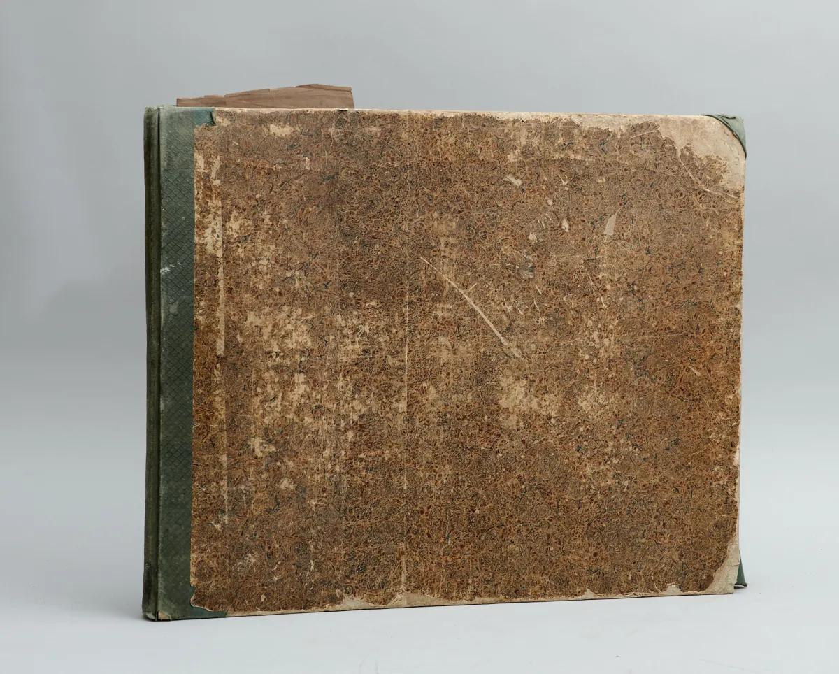
4th ed. Glogau and Leipzig, Flemming, 1848. Oblong folio (approx. 37 x 45 cm). With lithographed title and 81 (of 82) partly hand-coloured lithographed maps. Contemporary half-cloth (somewhat stained, heavily rubbed and bumped). Contains 2 celestial maps, 2 hemisphere maps and numerous detailed maps of countries and continents. The map of Italy (no. 43) is missing.
Erdbeschreibung über alle Theile der Erde. 4. Aufl. Glogau und Leipzig, Flemming, 1848. Qu.-Fol. (ca. 37 x 45 cm). Mit lithogr. Titel und 81 (von 82) tls. grenzkolor. lithogr. Karten. - Hlwd. d. Zt. (etw. fleckig, stark berieben und bestoßen). (9) Espenhorst 4.2a. - Vgl. Le Gear 6097. - Enthält 2 Himmelskarten, 2 Hemisphärenkarten und zahlreiche Detailkarten der Länder und Kontinente. - Es fehlt die Karte von Italien (Nr. 43).
Machine translation. The seller's German text is authoritative.
Sale conditions
About the sale
Sohr, K., and H. Berghaus (eds.), Vollständiger Handatlas der neueren Erdbeschreibung über alle Theile der Erde
Original titleSohr, K., und H. Berghaus (Hrsg.), Vollständiger Handatlas der neueren
Offered by

Similar lots
 No bids
 No bids
 No bids