Description
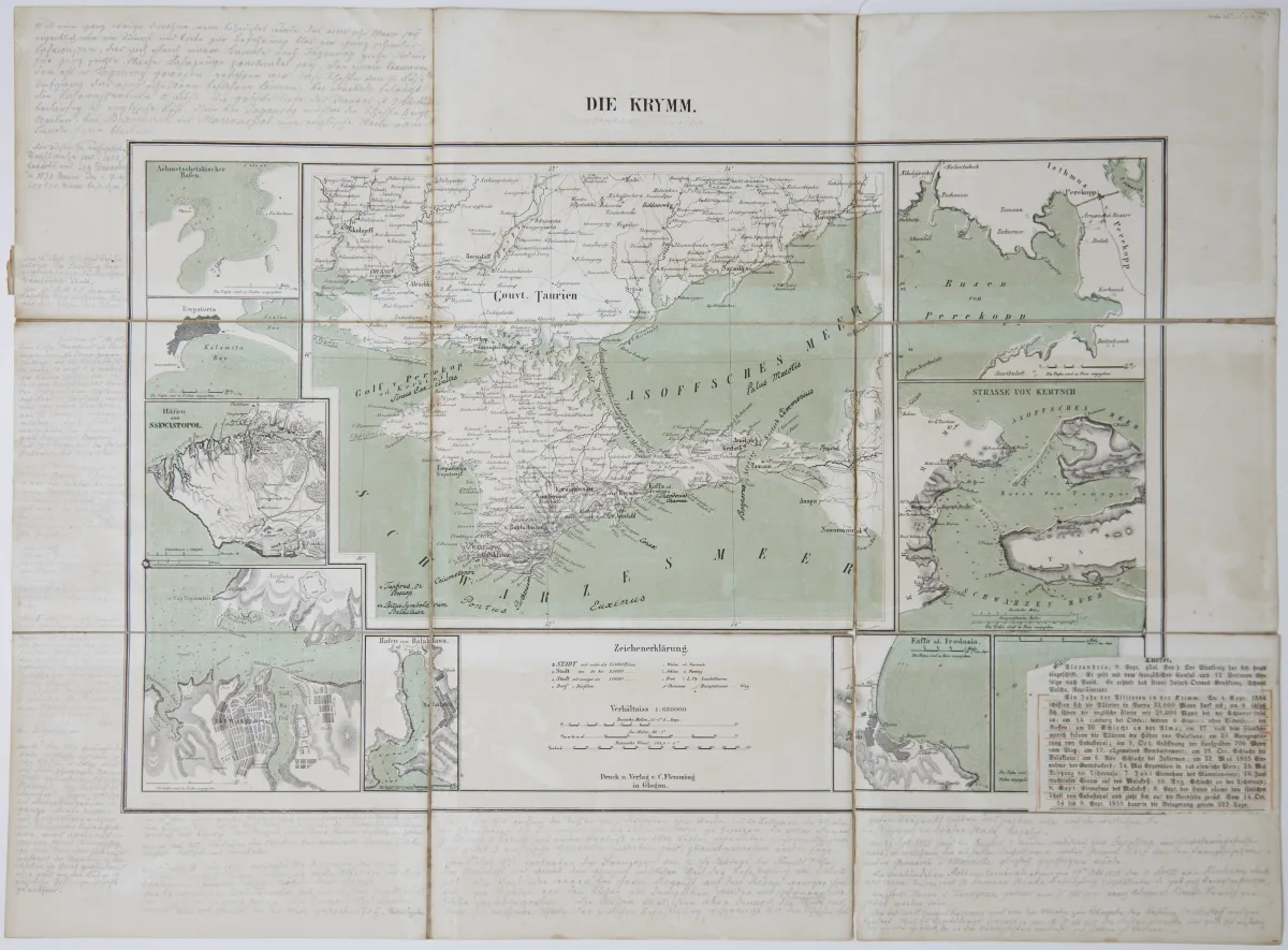
Lithographed map with coloured borders and inset map ("Cronstadt" with St. Petersburg; ca. 12 x 15 cm), by J. Wyld in London, dated 1854. Ca. 47 x 65 cm. 21 segments, mounted on linen, in slightly damaged original linen with cover title (front cover with small library label). Shows the area between Sundsvall in Sweden, St. Petersburg, Pinsk, Leipzig and London.
the Gulf of Finland and Surrounding Countries shewing the Present Seat of War". Grenzkolor. lithogr. Karte mit Nebenkarte ("Cronstadt" mit St. Petersburg; ca. 12 x 15 cm), bei J. Wyld in London, dat. 1854. Ca. 47 x 65 cm. - - 21 Segmente, auf Lwd. aufgezogen, in leicht läd. Orig.-Lwd. mit Deckeltitel (Vorderdeckel mit kleinem Bibliotheksschildchen). (24) Zeigt das Gebiet zwischen Sundsval in Schweden, St. Petersburg, Pinsk, Leipzig und London. - Der "Present Seat of War" bezieht sich auf den Krimkrieg, der nicht nur auf der Krim, sondern auch in der Ostsee stattfand.
Machine translation. The seller's German text is authoritative.
Sale conditions
About the sale
Europe - Baltic - Wyld's Map of the Baltic or East Sea, including the Gulf of Finland
Original titleEuropa - Ostsee - "Wyld's Map of the Baltic or East Sea, including
Offered by

Similar lots
 No bids
 5 bids
 No bids
 No bids