Description
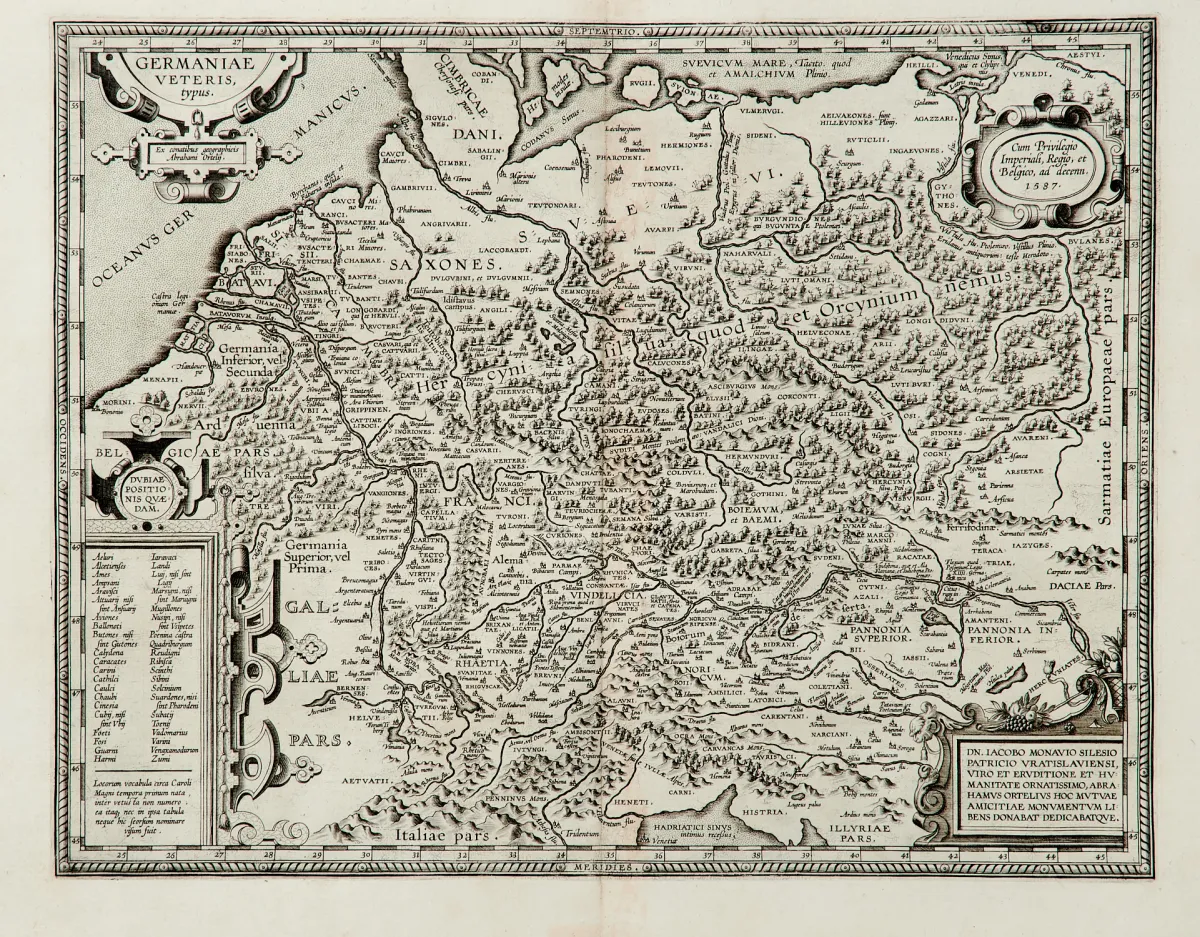
Maps of the late 16th and 17th centuries by various engravers, various formats (approx. 36 x 46.5 to 49 x 58 cm). All of Germany, mostly with neighbouring countries: "Germaniae veteris typus" (at A. Ortelius, dated 1587 or at G. Blaeu, around 1640; the Blaeu map partly coloured), "Germania" (after G. Mercator, probably at H. Hondius, around 1630) and "Accuratissima Germaniae Tabula" (at J. Danckerts, around 1680; old-coloured; heavier signs of age and...
des späten 16. und 17. Jhdts. von verschied Stechern und in unterschiedlichen Formaten (ca. 36 x 46,5 bis 49 x 58 cm). (25) - Gesamtdeutschland, meist mit den angrenzenden Ländern: "Germaniae veteris typus" (bei A. Ortelius, dat. 1587 bzw. bei G. Blaeu, um 1640; die Blaeu-Karte teilkolor.), "Germania" (nach G. Mercator, wohl bei H. Hondius, um 1630) sowie "Accuratissima Germaniae Tabula" (bei J. Danckerts, um 1680; altkolor.; stärkere Alters- und Gebrauchsspuren).
Machine translation. The seller's German text is authoritative.
Sale conditions
About the sale
Germany - 4 copper-engraved maps
Original titleDeutschland - 4 Kupferstichkarten
Offered by

Similar lots
 No bids
 No bids
 1 bid
 No bids