Description
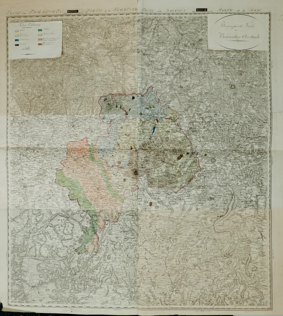
Old part-coloured copper engraved map with mounted fold-out title and colour legends in the upper corners, at the Geographisches Institut in Weimar, around 1815. Total size approx. 88.5 x 79 cm. Folded twice. The map is based on 6 sections of F. W. Streit's "Topographisch-militairische Charte von Teutschland" covering the area between Triptis, Plana in Czechia, Nuremberg and Coburg.
Alt teilkolor. Kupferstichkarte mit aufklappbaren mont. Titel und Farberklärungen in den oberen Ecken, beim Geographischen Institut in Weimar, um 1815. Gesamtgr.: ca. 88,5 x 79 cm. - - Doppelt gefaltet. (32) Die Grundlage der Karten bilden 6 Sektionen der "Topographisch-militairische(n) Charte von Teutschland" von F. W. Streit, welche das Kartengebiet zwischen Triptis, Plana in Tschechien, Nürnberg und Coburg abdecken, mittig eingezeichnet die Gesteinsschichten.
Machine translation. The seller's German text is authoritative.
Sale conditions
About the sale
Bavaria - Franconia Bayreuth - "Petrographische Karte vom Bayreuther Oberlande"
Original titleBayern - Franken Bayreuth - "Petrographische Karte vom Bayreuther Oberlande".
Offered by

Similar lots
 No bids
 1 bid
 No bids
 No bids