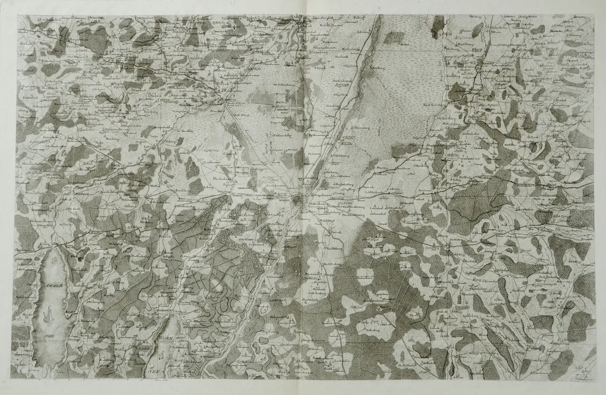
Description
Approx. 55.5 x 88.5 cm each (map image). Folded in the centre. The northern sheet with border line shows the area between Ingolstadt, Vilsheim, Freising and Pöttmes; the southern sheet without border line, printed somewhat later, shows the area between Massenhausen, Ostermünchen and Lake Ammer with Munich at its centre.
Je ca. 55,5 x 88,5 cm (Kartenbild). - - Mittig gefaltet. (32) Das nördliche Blatt mit Einfassungslinie zeigt das Gebiet zwischen Ingolstadt, Vilsheim, Freising und Pöttmes, das südlich anschliessende Blatt ohne Einfassungslinie und wohl etwas später abgezogen, zeigt die Gegend zwischen Massenhausen, Ostermünchen und dem Ammersee mit München im Zentrum.
Machine translation. The seller's German text is authoritative.
Sale conditions
About the sale
Bavaria - Munich and surroundings - 2 copper engraved maps, circa 1815
Original titleBayern - München und Umgebung - 2 Kupferstichkarten, um 1815.
Offered by

Similar lots
 No bids
 No bids
 1 bid
 No bids