Description
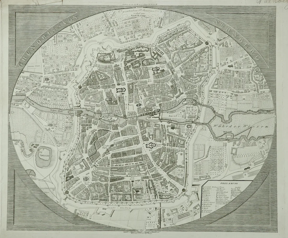
By various engravers and in different, partly larger formats. Including "Grundriss von Nürnberg" as a copperplate engraving after P. Bauer jun., at Fr. Campe in Nuremberg, around 1820 (approx. 48 x 57.5 cm), the lithographed map "Das Erzbisthum München Freising 1822" after F. N. Deyrer (39 x 47 cm), a copperplate map of the "Chiemsee" by J. Lehmann after A. von Riedl as well as the old partly coloured copperplate map "Geographischer Entwurf der bey".
Techniken, von verschied. Stechern und in unterschiedlichen, tls. größeren Formaten. (32) - Darunter "Grundriss von Nürnberg" als Kupferstich nach P. Bauer jun., bei Fr. Campe in Nürnberg, um 1820 (ca. 48 x 57,5 cm), die lithogr. Karte "Das Erzbisthum München Freising 1822" nach F. N. Deyrer (39 x 47 cm), eine Kupferstichkarte vom "Chiemsee" von J. Lehmann nach A. von Riedl sowie die alt teilkolor. Kupferstichkarte "Geographischer Entwurf der beyden freyen Reichs-Herrschaften Sulzbürg und Pirbaum" von S. Dorn nach T. Maier, dat. 1748 (51,5 x 43,5 cm).
Machine translation. The seller's German text is authoritative.
Sale conditions
About the sale
Bavaria - Lot - 8 sheets of the 18th and 19th centuries, various techniques
Original titleBayern - Konvolut - 8 Blätter des 18. und 19. Jhdts. in verschied.
Offered by

Similar lots
 No bids
 1 bid
 No bids