Description
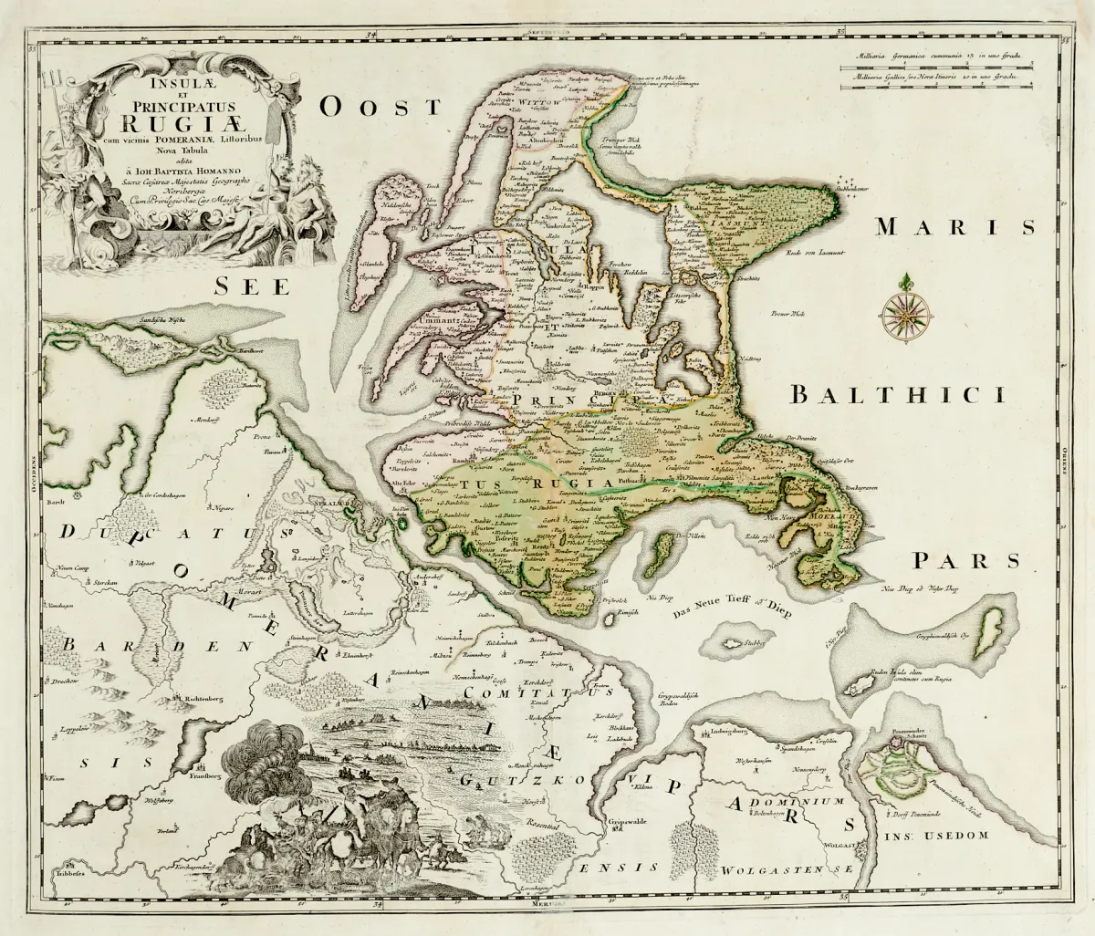
Copperplate maps from the 17th to early 19th century by various engravers and in different formats (approx. 36 x 47.5 to 55.5 x 90 cm). Including "Insulae et Principatus Rugiae cum vicinis Pomeraniae Littoribus Nova Tabula" (map of the island of Rügen, published by J. B. Homann), "Le Marquisat et Selectorat de Brandebourg" (from 2 plates; after N. Sanson, at H. Jaillot, dated 1676), "Pomeraniae Ducatus Tabula" (at G. Blaue) as well as "Meklenbu…".
Kupferstichkarten des 17. bis frühen 19. Jhdts. von verschied. Stechern und in unterschiedlichen Formaten (ca. 36 x 47,5 bis 55,5 x 90 cm). (24) - Darunter "Insulae et Principatus Rugiae cum vicinis Pomeraniae Littoribus Nova Tabula" (Karte der Insel Rügen, erschienen bei J. B. Homann), "Le Marquisat et Selectorat de Brandebourg" (von 2 Platten; nach N. Sanson, bei H. Jaillot, dat. 1676), "Pomeraniae Ducatus Tabula" (bei G. Blaue) sowie "Meklenburg Ducatus" (bei Janssonius-Waesberghe, Pitt & Swart).
Machine translation. The seller's German text is authoritative.
Sale conditions
About the sale
Mecklenburg-Western Pomerania - lot - 7 partly old hand-coloured maps
Original titleMecklenburg-Vorpommern - Konvolut - 7 tls. alt grenzkolor. oder altkolor.
Offered by

Similar lots
 No bids