Description
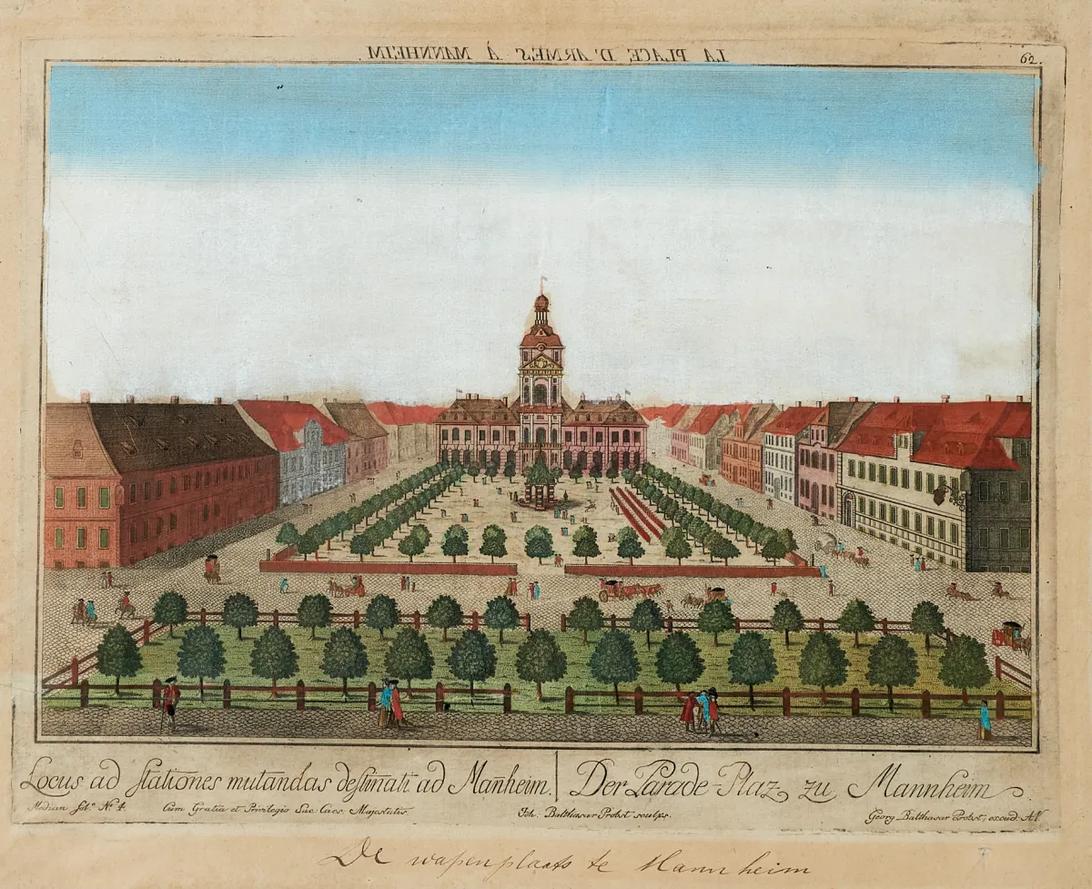
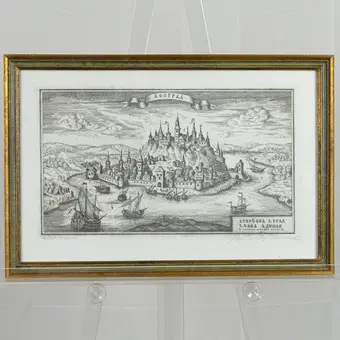
Various engravers and in different formats (approx. 8 x 6 to 49 x 58.5 cm). (24) - 6 partly old-boundary or old-coloured copperplate maps of the 17th and 18th centuries, including "Hydrographia Germaniae" (published by J. B. Homann), "S. R. I. Pars septentrionalior superioris Circuli Rheni" (by F. de Wit) and "Westphalia Ducatus" (by J. Janssonius), plus approx. 29 views, including the coloured copperplate "Perspectivischer Aufriss der Hochfürstl. M".
verschied. Stechern und in unterschiedlichen Formaten (ca. 8 x 6 bis 49 x 58,5 cm). (24) - 6 tls. alt grenz- oder altkolor. Kupferstichkarten des 17. und 18. Jhdts., darunter "Hydrographia Germaniae" (erschienen bei J. B. Homann, "S. R. I. Pars septentrionalior superioris Circuli Rheni" (bei F. de Wit) sowie "Westphalia Ducatus" (bei J. Janssonius), dazu ca. 29 Ansichten, darunter der kolor. Kupferstich "Perspectivischer Aufriss der Hochfürstl. Marggräfl. Badischen Residenz Stadt Carlsruh" (von J. B. Haas nach G. N. Fischer), einige altkolor. Guckkastenblätter u.a. von Augsburg, Berlin und Mannheim sowie ein kolor. Grundrissplan von Dresden mit Panoramaansicht, erschienen bei M. Seutter.
Machine translation. The seller's German text is authoritative.
Sale conditions
About the sale
Lot - Approx. 35 sheets, various techniques, by
Original title- Konvolut - Ca. 35 Blätter in verschied. Techniken, von
Offered by

Similar lots
 No bids
 No bids
 No bids
 No bids