Description
by various engravers and in different formats (approx. 15 x 22 to 48.5 x 63.5 cm). Mostly 18th and 19th century. Including the copper engraved maps with old border colouring "In Notitiam Ecclesiasticam Africae Tabula Geographica" (by J. B. Liébaux after G. Delisle, dated 1700) and "Carte de la Geographie Sacrée pour l'Ancien Testament" (by P. Moullart-Sanson, at Delamarche in Paris, dated 1716).
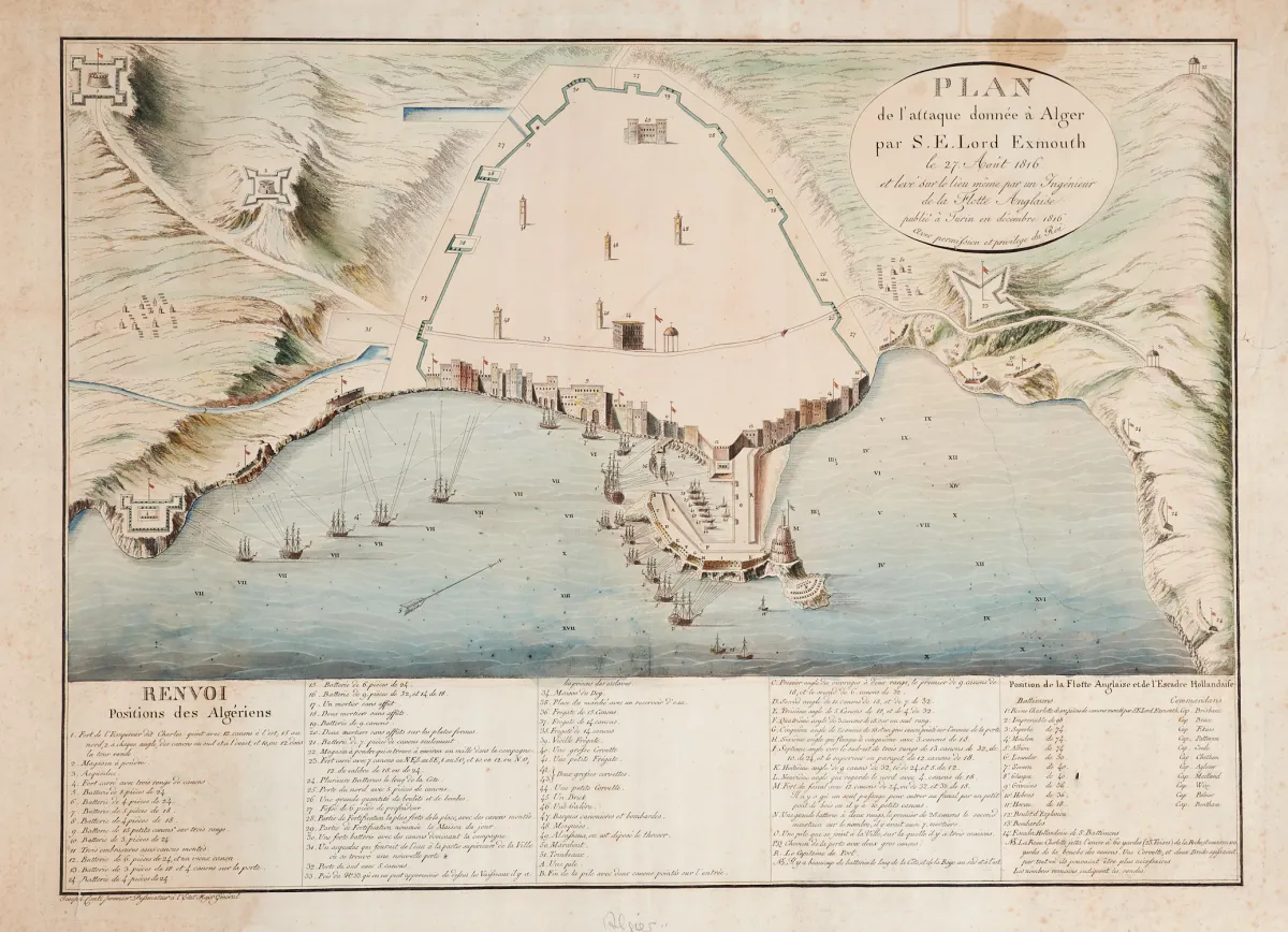
von verschied. Stechern und in unterschiedlichen Formaten (ca. 15 x 22 bis 48,5 x 63,5 cm). Großtls. 18. und 19. Jhdt. (25) - Darunter die alt grenzkolor. Kupferstichkarten "In Notitiam Ecclesiasticam Africae Tabula Geographica" (von J. B. Liébaux nach G. Delisle, dat. 1700), "Carte de la Geographie Sacrée pour l'Ancien Testament" (von P. Moullart-Sanson, bei Delamarche in Paris, dat. 1716), "Plan de l'attaque donnée ? Alger par S. E. Lord Exmouth e 27. Aout 1816" (nach J. Conti, Turin dat. 1816) sowie "Marche Ordinaire de l'empereur de la Chine lorsqu'il passe dans la ville de Péking" (wohl bei Helman in Paris, um 1780).
Machine translation. The seller's German text is authoritative.
Sale conditions
About the sale
Africa - Asia - 11 sheets in various techniques,
Original titleAfrika - Asien - 11 Blätter in verschied. Techniken,
Offered by

Similar lots
 No bids
 No bids
 No bids
 No bids