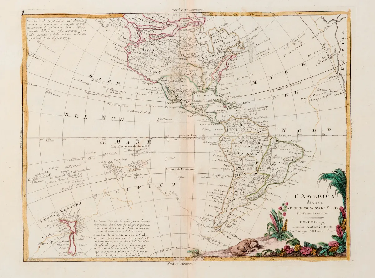
Description
Old hand-coloured copper engraving map with simple title cartouche and extensive explanations to the right of the map, by Barrière Frères, at F. Delamarche in Paris, dated 1825. 53.5 x 48 cm (map; 53.5 x 60 cm with text; sheet: 60.5 x 86.5 cm). Fold traces. Small partly filled losses in the folds, larger filled hole in the white margin on the right, small tears and edge wear, crease marks, somewhat stained and browned.
principaux états". Alt grenzkolor. Kupferstichkarte mit einfacher Titelkartusche und umfangreiche Erklärungen rechts neben der Karte, von Barrière Frères, bei F. Delamarche in Paris, dat. 1825. 53,5 x 48 cm (Karte; 53,5 x 60 cm mit Text; Blattgr.: 60,5 x 86,5 cm). - - Faltspuren. (25) Kleine tls. ergänzte Fehlstellen in den Faltungen, rechts größeres ergänztes Loch im weißen Rand, kleine Einrisse und Randläsuren, Knickspuren, etw. fleckig und gebräunt.
Machine translation. The seller's German text is authoritative.
Sale conditions
About the sale
America - "Carte Générale de l'Amérique divisée en ses principaux états"
Original titleAmerika - "Carte Générale de l'Amérique divisée en ses
Offered by

Similar lots
 No bids
 No bids
 No bids
 No bids