Description
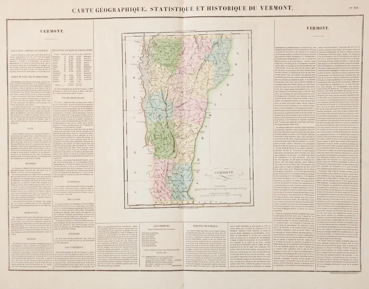
Various techniques, by various artists and engravers and in different formats. (25) - Including the "Charte von NordAmerica" by I. Rausch after F. L. Güssefeld, published by Homanns Erben in Nuremberg, dated 1797 (45 x 54 cm), 5 old border-coloured maps of the states of Connecticut, New York, Pennsylvania (2) and Wisconsin from Meyer's Handatlas (dated 1844-52) as well as Connecticut and Vermont, published by Jarez in Paris, 1825.
verschied. Techniken, von verschied. Künstlern und Stechern und in unterschiedlichen Formaten. (25) - Darunter die "Charte von NordAmerica" von I. Rausch nach F. L. Güssefeld, bei Homanns Erben in Nürnberg, dat. 1797 (45 x 54 cm), 5 alt grenzkolor. Karten der Bundesstaaten Connecticut, New York, Pennsylvania (2) und Wisconsin aus Meyers Handatlas (dat. 1844-52) sowie Connecticut und Vermont, erschienen bei Jarez in Paris, 1825.
Machine translation. The seller's German text is authoritative.
Sale conditions
About the sale
America - North America USA - 10 maps from the 18th to the 20th century
Original titleAmerika - Nordamerika USA - 10 Landkarten des 18. bis 20. Jhdts. in
Offered by

Similar lots
 No bids
 No bids
 No bids
 No bids