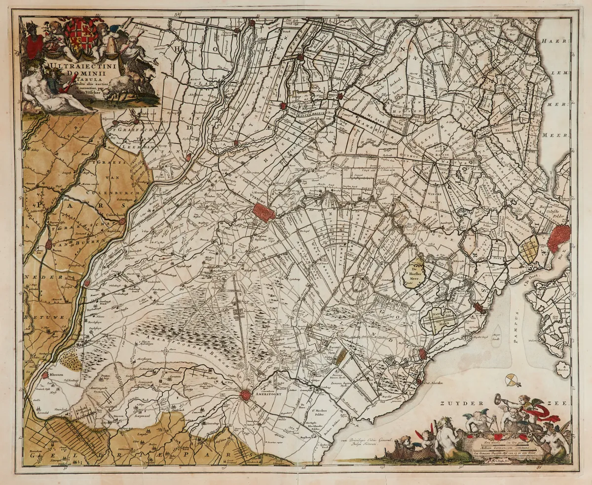
Description
Austrian, Dutch, etc. with the bishopric of Liège. Copper engraving map, hand-coloured at the borders, printed from 6 assembled plates, with 6 uncoloured figurative and landscape title cartouches, by G. M. Cassini, at the Calcografia Camerale in Rome, dated 1795. 91 x 91 cm. Multi-folded. From "Nuovo Atlante Geografico Universale".
Austriaci, Olandesi, e.c. col vescovato di Liegi". Alt grenzkolor. Kupferstichkarte (von 6 Platten gedruckt und zusammengesetzt) mit 6 unkolor. figürl. und landschaftl. Titelkartuschen, von G. M. Cassini, bei der Calcografia Camerale in Rom, dat. 1795. 91 x 91 cm. - - Mehrfach gefaltet. (25) Van der Heijden II, Map 318 (mit 2 Abb.). - Die Titelkartuschen tls. mit kleinen Stadtansichten. - Aus "Nuovo Atlante Geografico Universale...". - Zeigt das Gebiet zwischen der Insel Juist, Mannheim, Reims und Dover.
Machine translation. The seller's German text is authoritative.
Sale conditions
About the sale
Benelux - General map of the Netherlands, French,
Original title- Benelux - "Carta generale de' Paesi Bassi, Francesi,
Offered by

Similar lots
 1 bid
 1 bid
 No bids
 No bids