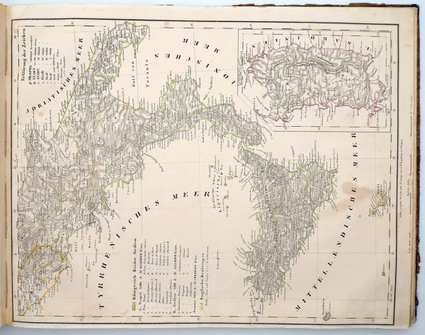
Description
4th edition, revised by Dr Heinrich Berghaus (Potsdam). Glogau/Leipzig, Carl Flemming, 1850. Oblong large folio with 80 hand-coloured steel-engraved or lithographed maps. Biedermeier atlas with fine details of political borders and early railways before the European revolutions. Condition: binding heavily rubbed/bumped, interior partly foxed, occasional marginal tears, maps with fresh colour.
4. Auflage, überarbeitet durch Dr. Heinrich Berghaus (Potsdam). Glogau/Leipzig, Carl Flemming, 1850. Quer-Groß-Folio mit 80 grenzkolorierten Stahlstich- bzw. Lithographie-Karten. Biedermeier-Atlas mit feinen Details zu politischen Grenzen und frühen Eisenbahnen vor den europäischen Revolutionen. Zustand: Einband stark berieben/bestoßen, innen teils stockfleckig, vereinzelt Randeinrisse, Karten farbfrisch .
Machine translation. The seller's German text is authoritative.
Sale conditions
About the sale
Sohr, Dr K. (and H. Berghaus): Complete hand atlas of the newer description of the Earth, 1850
Original titleSohr, Dr. K. (und H. Berghaus): Vollständiger Hand-Atlas der neueren Erdbeschreibung über alle Theile der Erde. 1850
Offered by

Similar lots
 No bids
 No bids
 No bids