Description
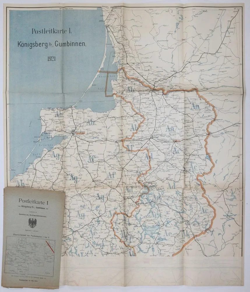
Postal route maps. 2 sets of German postal route maps from 1892 and 1921. 9 and 11 assemblable folding maps (1892 map 4 missing). Lithogr., Gea Verlag Berlin and Verlag des Berliner Lith. Instituts (Julius Moser). Each 77 x 58.5 cm. - Covers partly with crease marks, small tears, a few slightly stained. Maps slightly browned, mostly in very good condition.
Postleitkarten. 2 Satz deutsche Postleitkarten von 1892 u. 1921. 9 u. 11 zusammensetzbare Faltkarten (1892 Karte 4 fehlend). Lithogr., Gea Verlag Berlin u. Verlag des Berliner Lith. Instituts (Julius Moser). Je 77 x 58,5 cm. - Umschlage tls. mit Knickspuren, kleinen Einrissen, wenige leicht fleckig. Karten leicht gebräunt, überwiegend in sehr gutem Zustand.
Machine translation. The seller's German text is authoritative.
Sale conditions
About the sale
Postal route maps. – 2 sets of German postal route maps from 1892 and
Original titlePostleitkarten. – 2 Satz deutsche Postleitkarten von 1892 u
Offered by

Similar lots
 No bids
  No bids
  No bids
  No bids