Description
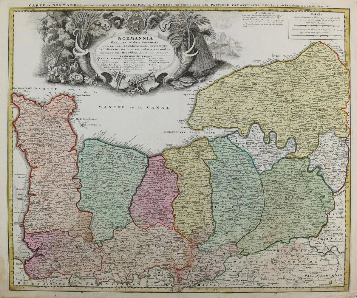
Normandy. Carte de Normandie. Old colored engraved map. After Delise, by Homann Erben, ca. 1740. Image size 48 x 57 cm. Waterstained at bottom edge into the image. Center fold. Slight storage and wear marks. Included: plan of the city and fortress of Strasbourg. Copper engraving from Merian: Theatrum Europäum, ca. 1690. Mounted under passe-partout. Ca. 29 x 35 cm. Ex-collection Gert Nagel.
Normandie. Carte de Normandie. Altkolor. Kupferstichkarte. Nach Delise, bei Homann Erben, ca. 1740. Bildgr. 48 x 57 cm. - Am unteren Rand wasserfleckig bis in die Darstellung. Mittelfalz. Leichte Lager- u. Gebrauchssp. Dabei: Gundriß der Statt und Festung Straßburg. Kupferstich aus Merian: Theatrum Europäum, ca. 1690. Unter Passep. mont. Ca. 29 x 35 cm. - Ex-Sammlung Gert Nagel.
Machine translation. The seller's German text is authoritative.
Sale conditions
About the sale
Normandy. – Carte de Normandie
Original titleNormandie. – Carte de Normandie
Offered by

Similar lots
 No bids
  1 bid
1 bid  No bids
  No bids