Descrizione
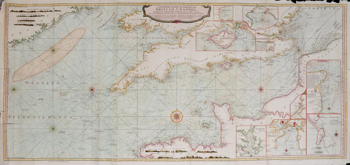
Channel with part of the Atlantic Ocean as far as Cape Clear". Carta nautica. Carta incisa in rame colorata (da 3 lastre) con 9 carte secondarie colorate, profili costieri colorati e alcune rose dei venti colorate, da Thomas Jeffreys, presso R. Sayer & J. Bennett a Londra, datata 1781. 69 x 151,5 cm. - - Arrotolata. (25) Mostra la zona costiera tra la parte sud-orientale dell'Irlanda circa fino alla foce del Tamigi, nonché la costa francese tra Brest e le Fiandre.
Channel with part of the Atlantic Ocean as far as Cape Clear". Seekarte. Kolor. Kupferstichkarte (von 3 Platten) mit 9 kolor. Nebenkarten, kolor. Küstenprofilen sowie einigen kolor. Kompassrosen, nach Thomas Jeffreys, bei R. Sayer & J. Bennett in London, dat. 1781. 69 x 151,5 cm. - - Gerollt. (25) Zeigt das Küstengebiet zwischen dem südöstlichen Teil von Irland ca. bis zur Themsemündung sowie die französische Küste zwischen Brest und Flandern, die Nebenkarten u.a. mit den Häfen von "the Downs", Falmouth, "Mounts Bay", Plymouth, Portland sowie die Umgebung der Isle of Wight.
Traduzione automatica. Fa fede il testo tedesco della casa d'aste.
Condizioni di vendita
Informazioni sulla vendita
Gran Bretagna - Francia Canale della Manica - "A new hydrographical survey of the British
Titolo originaleGrossbritannien - Frankreich Kanal - "A new hydrographical survey of the British
Proposto da

Lotti simili
 Senza offerte
 Senza offerte
 Senza offerte
 Senza offerte