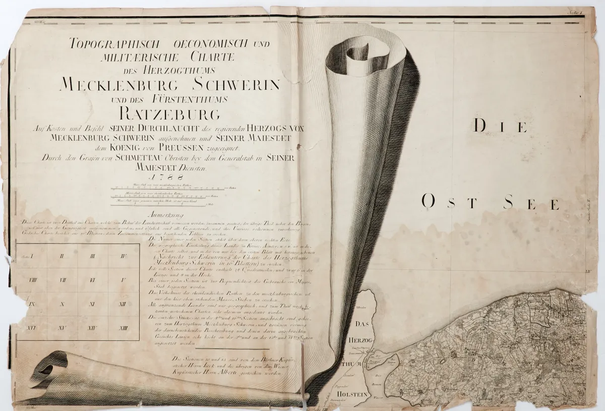
„Charte des Herzogthums Mecklenburg Schwerin und des Fürstenthums Ratzeburg”. Miedziorytowa mapa w 14 (z 16) arkuszach z dużą kartuszą tytułową w formie zwoju i indeksem arkuszy, autorstwa C. Jaecka, C. F. Gurscha i I. Alberta wg F. W. K. von Schmettaua, Berlin i Wiedeń 1788-(93). Każdy ok. 61 x 89 cm. Dörflinger s. 107. LGK II, 710. Brak arkuszy 2 i 7 tej rzadkiej wielkoformatowej mapy ściennej.
Charte des Herzogthums Mecklenburg Schwerin und des Fürstenthums Ratzeburg". Kupferstichkarte in 14 (von 16) Blättern mit großer Titelkartusche als Schriftrolle nebst Blattzeiger, von C. Jaeck, C. F. Gursch und I. Albert nach F. W. K. von Schmettau, Berlin und Wien 1788-(93). Je ca. 61 x 89 cm. (24) - Dörflinger S. 107. LGK II, 710. - Es fehlen die Blätter 2 und 7 der seltenen großformatigen Wandkarte.
Tłumaczenie automatyczne. Wiążący jest niemiecki tekst sprzedawcy.
Warunki sprzedaży
O aukcji
Meklemburgia-Schwerin - mapa Schmettaua - „Topographisch oeconomisch und militaerische”
Tytuł oryginalnyMecklenburg-Schwerin - Schmettau-Karte - "Topographisch oeconomisch und militaerische
Oferowane przez

Podobne partie
 Bez ofert
 Bez ofert
 Bez ofert