Description
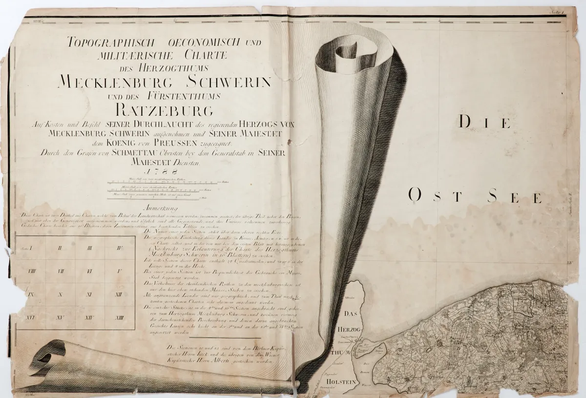
"Charte des Herzogthums Mecklenburg Schwerin und des Fürstenthums Ratzeburg". Copperplate map in 14 (of 16) sheets with large title cartouche as a scroll and sheet index, by C. Jaeck, C. F. Gursch and I. Albert after F. W. K. von Schmettau, Berlin and Vienna 1788-(93). Each approx. 61 x 89 cm. Dörflinger p. 107. LGK II, 710. Sheets 2 and 7 of this rare large-format wall map are missing.
Charte des Herzogthums Mecklenburg Schwerin und des Fürstenthums Ratzeburg". Kupferstichkarte in 14 (von 16) Blättern mit großer Titelkartusche als Schriftrolle nebst Blattzeiger, von C. Jaeck, C. F. Gursch und I. Albert nach F. W. K. von Schmettau, Berlin und Wien 1788-(93). Je ca. 61 x 89 cm. (24) - Dörflinger S. 107. LGK II, 710. - Es fehlen die Blätter 2 und 7 der seltenen großformatigen Wandkarte.
Machine translation. The seller's German text is authoritative.
Sale conditions
About the sale
Mecklenburg-Schwerin - Schmettau map - "Topographisch oeconomisch und militaerische"
Original titleMecklenburg-Schwerin - Schmettau-Karte - "Topographisch oeconomisch und militaerische
Offered by

Similar lots
 No bids
 No bids
 No bids