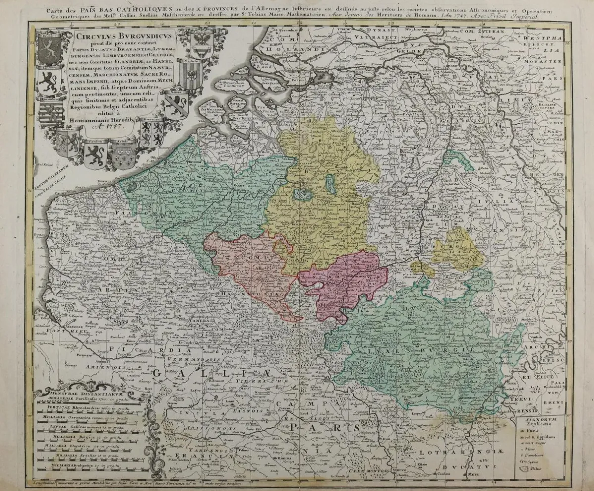
Benelux. Carte des Pays Catholiques ou des X Provinces de L'Allemangne inferieure. Stara miedziorytowa mapa, kolorowana granicami i powierzchniami. Homann Erben, 1747. Wymiary płyty 47 x 56 cm. - Plamy wodne w dolnym marginesie, sięgające do obrazu. Zgięcie środkowe. W zestawie: Comitatus Hannoniae. 2 egz. Stara miedziorytowa mapa, kolorowana powierzchniowo. U Homan, ok. 1715. Wymiary arkusza 51,5 x 59 cm. - Zgięcie środkowe. Uzupełnione ubytki na odwrocie, naderwane marginesy. - Dawna kolekcja Gert Nagel, Stuttgart.
Benelux. Carte des Pays Catholiques ou des X Provinces de L'Allemangne inferieure. Alt grenz- u. flächenkolor. Kupferstichkarte. Homann Erben, 1747. Plgr. 47 x 56 cm. - Im unteren Rand wasserrandig, bis in die Darstellung reichend. Mittelfalz. Dabei: Comitatus Hannoniae. 2 Ex. Alt flächenkolor. Kupferstichkarte. Bei Homan, ca. 1715. Blgr. 51,5 x 59 cm. - Mittelfalz. Verso hinterlegte Fehlstellen, randrissig. - Ex-Sammlung Gert Nagel, Stuttgart.
Tłumaczenie automatyczne. Wiążący jest niemiecki tekst sprzedawcy.
Warunki sprzedaży
O aukcji
Benelux – Carte des Pays Catholiques ou des X Provinces de L'Allemangne inferieure
Tytuł oryginalnyBenelux. – Carte des Pays Catholiques ou des X Provinces de L'Allemangne inferieure
Oferowane przez

Podobne partie
 11 oferta
  10 oferta
  23 ofert
  9 oferta