Description
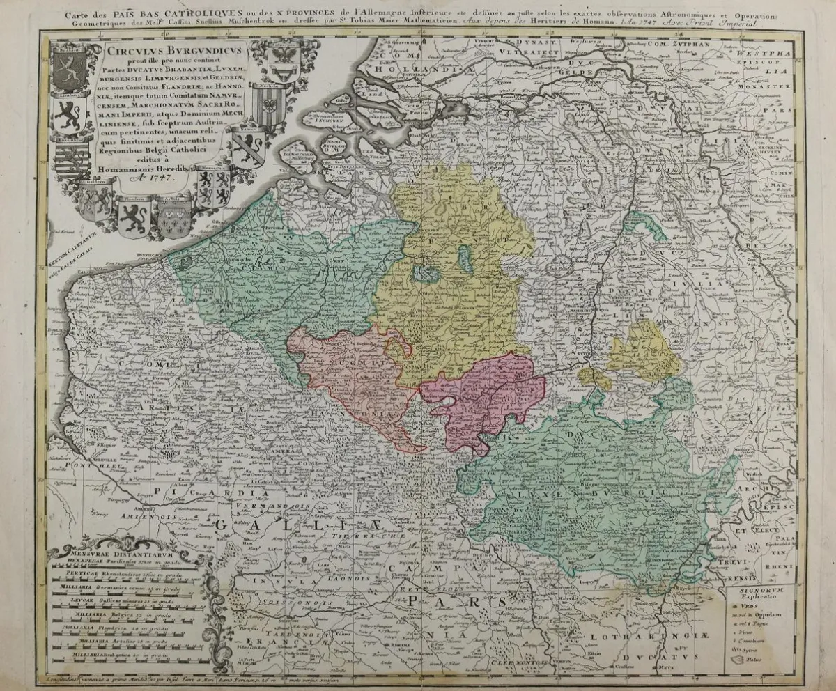
Benelux. Carte des Pays Catholiques ou des X Provinces de L'Allemangne inferieure. Old border and area colored copper engraving map. Homann Erben, 1747. Plate size 47 x 56 cm. - Waterstained in lower margin, extending into the image. Center fold. Included: Comitatus Hannoniae. 2 copies. Old area colored copper engraving map. By Homan, ca. 1715. Sheet size 51.5 x 59 cm. - Center fold. Backed defects, marginal tears. - Former collection Gert Nagel, Stuttgart.
Benelux. Carte des Pays Catholiques ou des X Provinces de L'Allemangne inferieure. Alt grenz- u. flächenkolor. Kupferstichkarte. Homann Erben, 1747. Plgr. 47 x 56 cm. - Im unteren Rand wasserrandig, bis in die Darstellung reichend. Mittelfalz. Dabei: Comitatus Hannoniae. 2 Ex. Alt flächenkolor. Kupferstichkarte. Bei Homan, ca. 1715. Blgr. 51,5 x 59 cm. - Mittelfalz. Verso hinterlegte Fehlstellen, randrissig. - Ex-Sammlung Gert Nagel, Stuttgart.
Machine translation. The seller's German text is authoritative.
Sale conditions
About the sale
Benelux – Carte des Pays Catholiques ou des X Provinces de L'Allemangne inferieure
Original titleBenelux. – Carte des Pays Catholiques ou des X Provinces de L'Allemangne inferieure
Offered by

Similar lots
 No bids
  6 bids
  1 bid
1 bid  No bids