Description
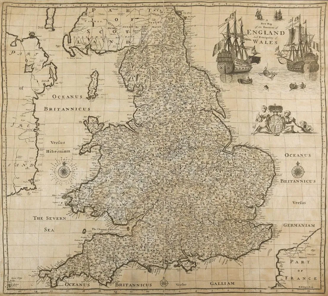
Great Britain. A new map of the Kingdom of England and the Principality of Wales. Copper engraved map printed on cloth and pasted on paper. After F.W. Oetjes by Robert Mordon, ca. 1690. Plate size 40 x 54 cm. Separately published map by Mordon, rare. - Partly heavily browned and waterstained into the image. Fold tear into the image. - Former collection Gert Nagel, Stuttgart.
Großbritannien. A new map of the Kingdom of England and the Principality of Wales. Kupferstichkarte auf Lw. gedurckt u. auf Papoer geklebt. Nach F.W. Oetjes bei Robert Mordon, ca. 1690. Plgr. 40 x 54 cm. Se perat erschienene Karte bei Mordon, selten. - Tls. stärker gebräunt u. bis in die Darstellung wasserrandig. Falzriß bis in die Darstellung. - Ex-Sammlung Gert Nagel, Stuttgart.
Machine translation. The seller's German text is authoritative.
Sale conditions
About the sale
Great Britain. – A new map of the Kingdom of England and the Principality of Wales
Original titleGroßbritannien. – A new map of the Kingdom of England and the Principality of Wales
Offered by

Similar lots
 11 bids
  No bids