Description
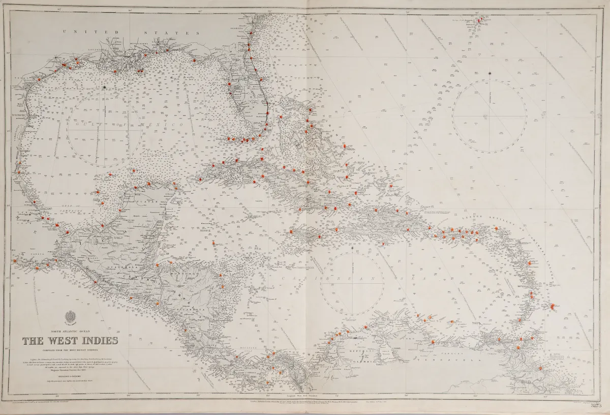
Six cartes gravées sur cuivre de différents graveurs, publiées par le United Kingdom Hydrographic Office à Londres, premier tiers du 20e siècle. Formats divers. Cartes de l'Amirauté : Harbours in the Gulf of Mexico (3 sur une feuille : Tampico Harbour, Port of Vera Cruz et Approches to Veracruz), Florida Strait South Part (65,5 x 108 cm), Entrance to Pensacola Bay, Tampa Bay (60 x 46 cm), The Great Bahama Bank Sheet IV, The West Indies.
United Kingdom Hydrographic Office in London, erstes Drittel 20. Jhdt. Verschied. Formate. (25) - "Harbours in the Gulf of Mexico" (3 auf einem Blatt: "Tampico Harbour", "Port of Vera Cruz" und "Approches to Veracruz") - "Florida Strait South Part" (65,5 x 108 cm) - "Entrance to Pensacola Bay" - "Tampa Bay" (60 x 46 cm) - "The Great Bahama Bank Sheet IV" - "The West Indies". - Admiralty charts are nautical charts issued by the United Kingdom Hydrographic Office, printing started in 1800.
Traduction automatique. Le texte allemand de la maison de ventes fait foi.
Conditions de vente
À propos de la vente
Amérique - Amérique du Nord Cartes marines - 6 cartes gravées sur cuivre
Titre d'origineAmerika - Nordamerika Seekarten - 6 Kupferstichkarten von verschied. Stechern, beim
Proposé par

Lots similaires