Descrizione
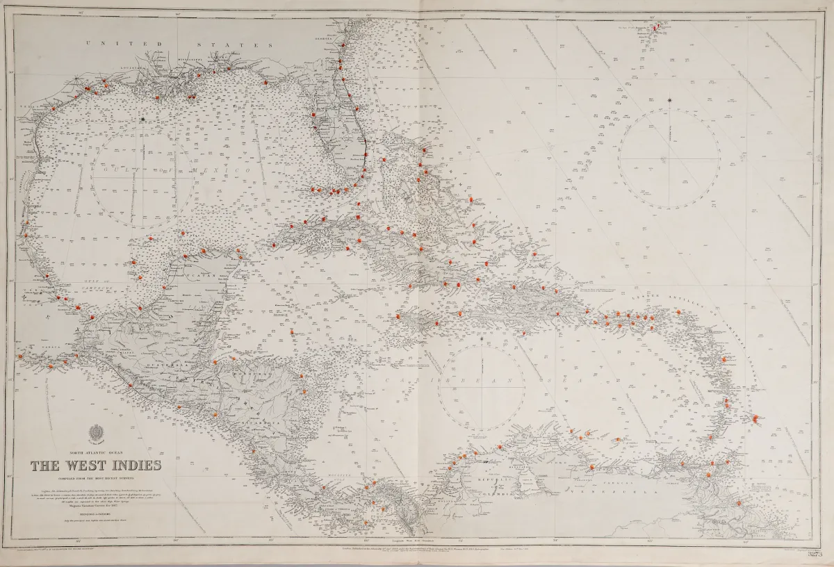
United Kingdom Hydrographic Office a Londra, primo terzo del XX sec. Formati diversi. (25) — "Harbours in the Gulf of Mexico" (3 su un foglio: "Tampico Harbour", "Port of Vera Cruz" e "Approches to Veracruz") — "Florida Strait South Part" (65,5 x 108 cm) — "Entrance to Pensacola Bay" — "Tampa Bay" (60 x 46 cm) — "The Great Bahama Bank Sheet IV" — "The West Indies". — Le Admiralty charts sono carte nautiche emesse dalla United Kingdom Hydr
United Kingdom Hydrographic Office in London, erstes Drittel 20. Jhdt. Verschied. Formate. (25) - "Harbours in the Gulf of Mexico" (3 auf einem Blatt: "Tampico Harbour", "Port of Vera Cruz" und "Approches to Veracruz") - "Florida Strait South Part" (65,5 x 108 cm) - "Entrance to Pensacola Bay" - "Tampa Bay" (60 x 46 cm) - "The Great Bahama Bank Sheet IV" - "The West Indies". - Admiralty charts are nautical charts issued by the United Kingdom Hydrographic Office, printing started in 1800.
Traduzione automatica. Fa fede il testo tedesco della casa d'aste.
Condizioni di vendita
Informazioni sulla vendita
America — Nord America carte nautiche — 6 carte incise in rame di diversi incisori, presso
Titolo originaleAmerika - Nordamerika Seekarten - 6 Kupferstichkarten von verschied. Stechern, beim
Proposto da

Lotti simili
 1 offerta