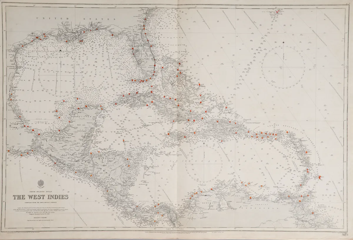
伦敦 United Kingdom Hydrographic Office 出版,20 世纪前三分之一。尺寸各异。(25) - "Harbours in the Gulf of Mexico"(1 张纸上 3 幅:"Tampico Harbour"、"Port of Vera Cruz" 和 "Approches to Veracruz")- "Florida Strait South Part"(65,5 x 10⁸ 厘米)- "Entrance to Pensacola Bay" - "Tampa Bay"(60 x 46 厘米)- "The Great Bahama Bank Sheet IV" - "The West Indies"。 - Admiralty charts 是由 United Kingdom Hydr 发布的海图
United Kingdom Hydrographic Office in London, erstes Drittel 20. Jhdt. Verschied. Formate. (25) - "Harbours in the Gulf of Mexico" (3 auf einem Blatt: "Tampico Harbour", "Port of Vera Cruz" und "Approches to Veracruz") - "Florida Strait South Part" (65,5 x 108 cm) - "Entrance to Pensacola Bay" - "Tampa Bay" (60 x 46 cm) - "The Great Bahama Bank Sheet IV" - "The West Indies". - Admiralty charts are nautical charts issued by the United Kingdom Hydrographic Office, printing started in 1800.
自动翻译。以拍卖行的德语文本为准。
关于拍卖
美洲 - 北美洲 海图 - 6 幅不同雕版师的铜版地图,由
原始标题Amerika - Nordamerika Seekarten - 6 Kupferstichkarten von verschied. Stechern, beim

相似拍品
 无出价