Açıklama
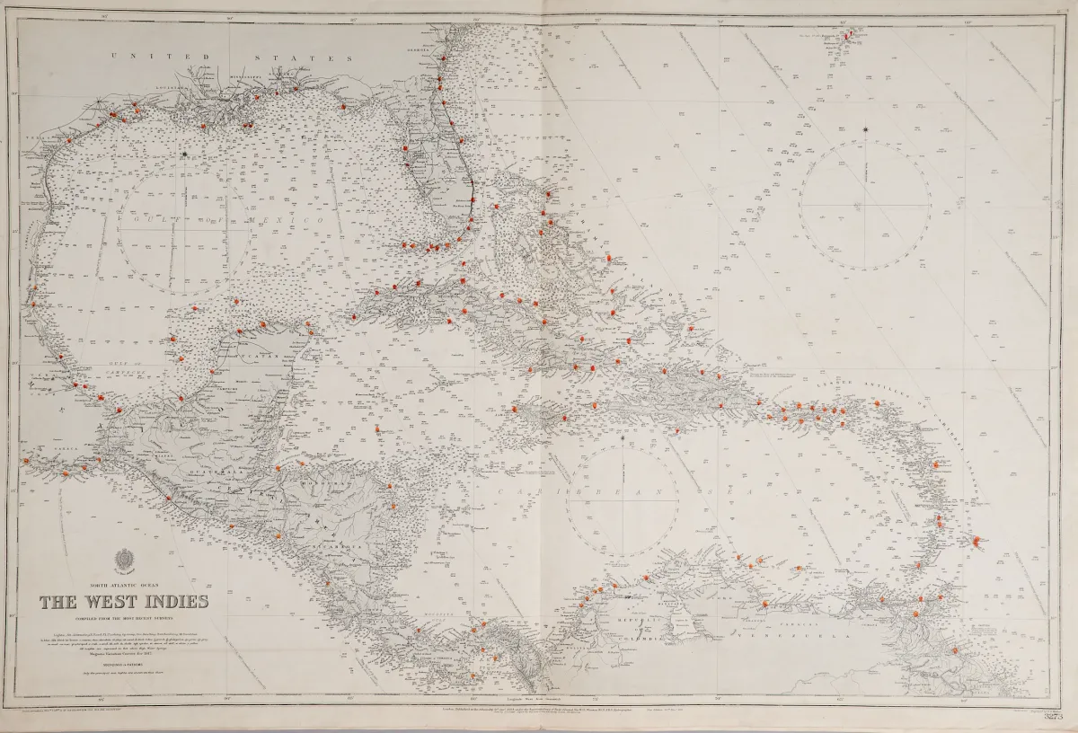
United Kingdom Hydrographic Office'te Londra'da, 20. yy ilk üçte biri. Çeşitli formatlar. (25) — "Harbours in the Gulf of Mexico" (1 yaprakta 3: "Tampico Harbour", "Port of Vera Cruz" ve "Approches to Veracruz") — "Florida Strait South Part" (65,5 x 108 cm) — "Entrance to Pensacola Bay" — "Tampa Bay" (60 x 46 cm) — "The Great Bahama Bank Sheet IV" — "The West Indies". — Admiralty charts, United Kingdom Hydr tarafından yayımlanan deniz haritalarıdır
United Kingdom Hydrographic Office in London, erstes Drittel 20. Jhdt. Verschied. Formate. (25) - "Harbours in the Gulf of Mexico" (3 auf einem Blatt: "Tampico Harbour", "Port of Vera Cruz" und "Approches to Veracruz") - "Florida Strait South Part" (65,5 x 108 cm) - "Entrance to Pensacola Bay" - "Tampa Bay" (60 x 46 cm) - "The Great Bahama Bank Sheet IV" - "The West Indies". - Admiralty charts are nautical charts issued by the United Kingdom Hydrographic Office, printing started in 1800.
Otomatik çeviri. Satış evinin Almanca metni geçerlidir.
Satış koşulları
Satış hakkında
Amerika — Kuzey Amerika deniz haritaları — Farklı gravürcülerden 6 bakır gravür harita,
Orijinal başlıkAmerika - Nordamerika Seekarten - 6 Kupferstichkarten von verschied. Stechern, beim
Sunan

Benzer lotlar
 Teklifsiz
 Teklifsiz
 Teklifsiz