Description
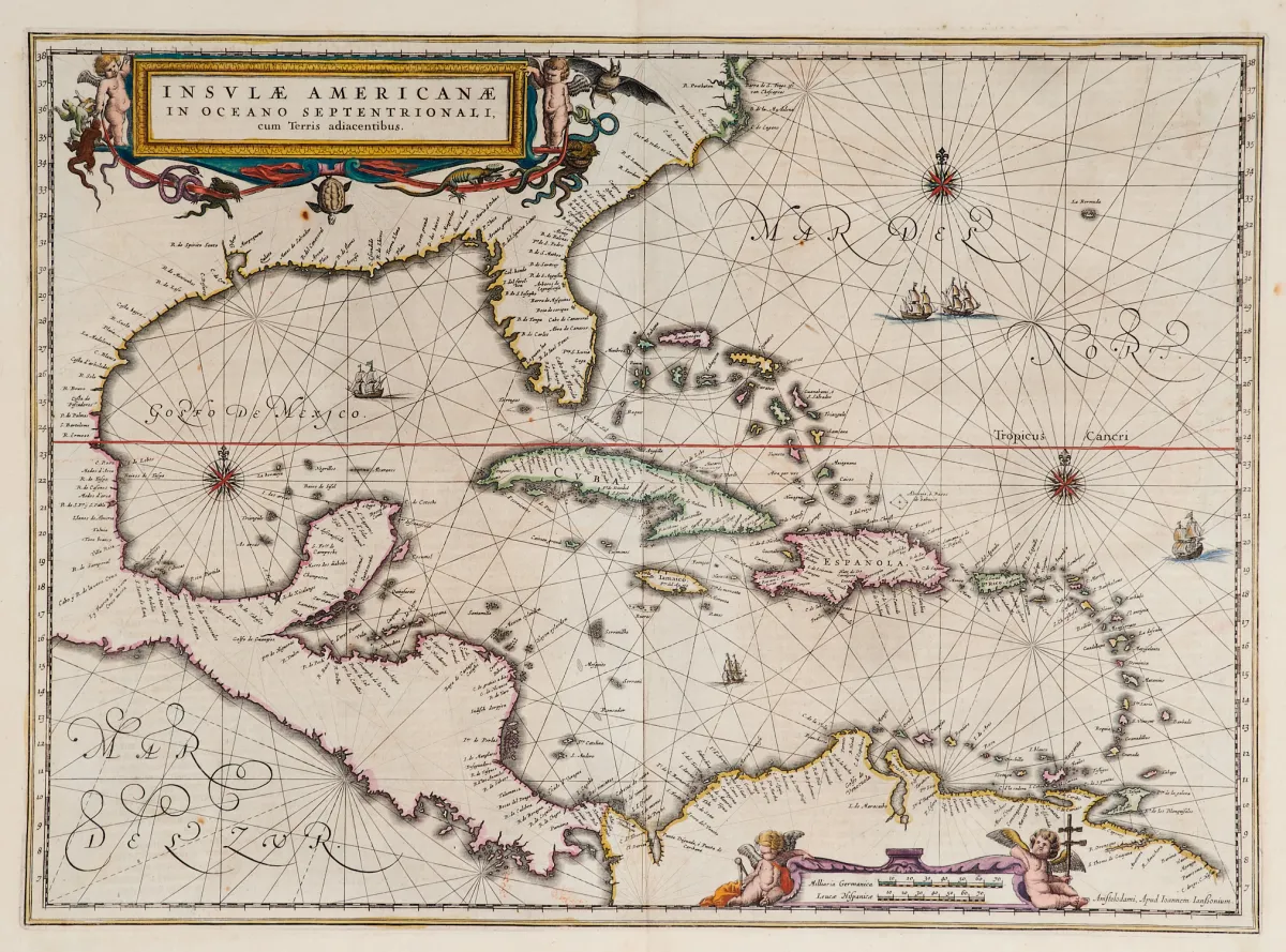
Carte gravée sur cuivre, contours coloriés à l'époque, avec 2 cartouches figurés coloriés, navires et roses des vents, tirée de "Newer Atlas", chez J. Janssonius à Amsterdam, 1644-58. 37,5 x 51,5 cm. Van der Krogt I, 9600:1 1:424/27. Burden 248 (état 1 sur 2).
Terris adiacentibus" (mit der Südspitze Floridas und Mittelamerika). Alt grenzkolor. Kupferstichkarte mit 2 kolor. figürl. Kartuschen, Schiffsstaffage und Kompassrosen, aus "Newer Atlas", bei J. Janssonius in Amsterdam, 1644-58. 37,5 x 51,5 cm. (25) - Van der Krogt I, 9600:1 1:424/27. Burden 248 (state 1 of 2): "Here Janssonius, Hondius' partner, uses the Blaeu map of the same title produced the previous year. Cartographically the map draws on the extremely rare chart by Hessel Gerritsz, c. 1631, reflecting the firsthand knowledge of Gerritsz during his voyage to South America and the West Indies undertaken in 1628". - Mit deutschem Rückentext.
Traduction automatique. Le texte allemand de la maison de ventes fait foi.
Conditions de vente
À propos de la vente
Amérique - Caraïbes - "Insulae Americanae in Oceano Septentrionali, cum Terris adiacentibus"
Titre d'origineAmerika - Karibik - "Insulae Americanae in Oceano Septentrionali, cum
Proposé par

Lots similaires
 1 enchère
 Sans enchère
 Sans enchère
 Sans enchère