Descrizione
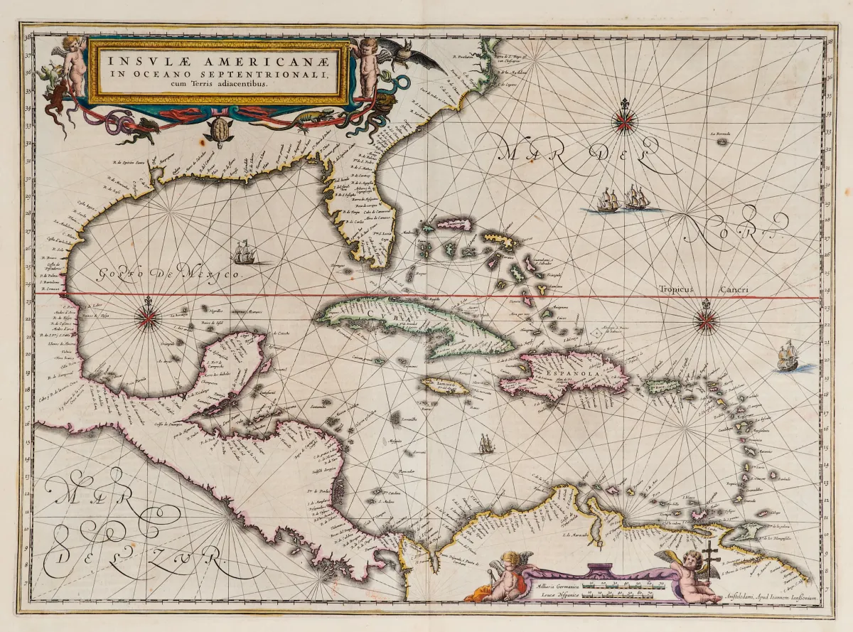
Mappa antica con confini colorati a mano (con l'estremità meridionale della Florida e l'America Centrale). Incisione su rame con 2 cartigli figurati colorati, navi e rose dei venti, da «Newer Atlas», presso J. Janssonius ad Amsterdam, 1644–58. 37,5 x 51,5 cm. Van der Krogt I, 9600:1 1:424/27. Burden 248 (stato 1 di 2).
Terris adiacentibus" (mit der Südspitze Floridas und Mittelamerika). Alt grenzkolor. Kupferstichkarte mit 2 kolor. figürl. Kartuschen, Schiffsstaffage und Kompassrosen, aus "Newer Atlas", bei J. Janssonius in Amsterdam, 1644-58. 37,5 x 51,5 cm. (25) - Van der Krogt I, 9600:1 1:424/27. Burden 248 (state 1 of 2): "Here Janssonius, Hondius' partner, uses the Blaeu map of the same title produced the previous year. Cartographically the map draws on the extremely rare chart by Hessel Gerritsz, c. 1631, reflecting the firsthand knowledge of Gerritsz during his voyage to South America and the West Indies undertaken in 1628". - Mit deutschem Rückentext.
Traduzione automatica. Fa fede il testo tedesco della casa d'aste.
Condizioni di vendita
Informazioni sulla vendita
America — Caraibi — «Insulae Americanae in Oceano Septentrionali, cum Terris adiacentibus»
Titolo originaleAmerika - Karibik - "Insulae Americanae in Oceano Septentrionali, cum
Proposto da

Lotti simili
 Senza offerte
 Senza offerte
 Senza offerte
 Senza offerte