विवरण
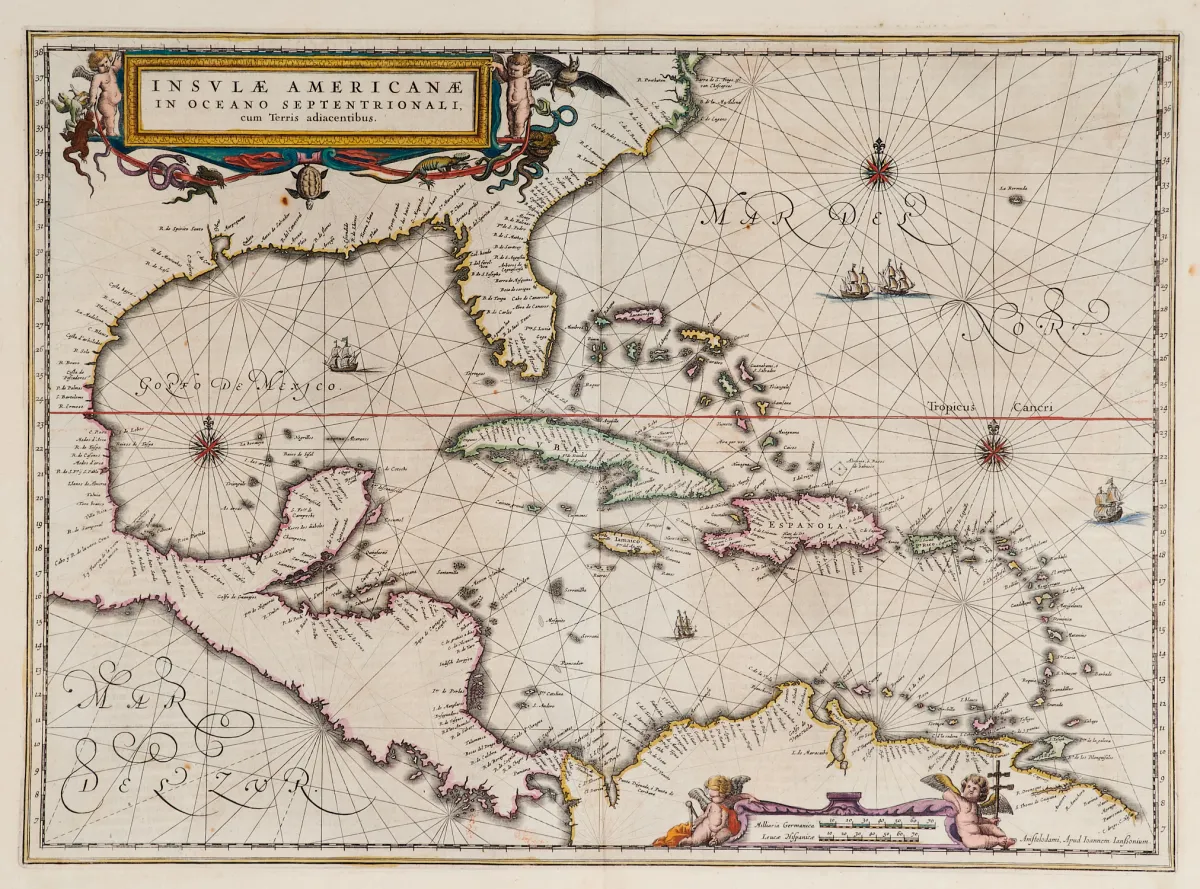
Terris adiacentibus (फ्लोरिडा के दक्षिणी सिरे और मध्य अमेरिका सहित)। पुरानी सीमा-रंगाई वाला तांबा-उत्कीर्णन नक्शा, 2 रंगीन आकृति कार्टूश, जहाज़ सजावट और दिक्सूचक गुलाब, "Newer Atlas" से, J. Janssonius, एम्स्टर्डम में, 1644-58। 37,5 x 51,5 सेमी। (25) - Van der Krogt I, 9600:1 1:424/27। Burden 248 (state 1 of 2): "Here Janssonius, Hondius' partner, uses the Blaeu map of the same title produced the previous year. Cartographically the map draws on th
Terris adiacentibus" (mit der Südspitze Floridas und Mittelamerika). Alt grenzkolor. Kupferstichkarte mit 2 kolor. figürl. Kartuschen, Schiffsstaffage und Kompassrosen, aus "Newer Atlas", bei J. Janssonius in Amsterdam, 1644-58. 37,5 x 51,5 cm. (25) - Van der Krogt I, 9600:1 1:424/27. Burden 248 (state 1 of 2): "Here Janssonius, Hondius' partner, uses the Blaeu map of the same title produced the previous year. Cartographically the map draws on the extremely rare chart by Hessel Gerritsz, c. 1631, reflecting the firsthand knowledge of Gerritsz during his voyage to South America and the West Indies undertaken in 1628". - Mit deutschem Rückentext.
स्वचालित अनुवाद। नीलामी घर का जर्मन पाठ प्रामाणिक है।
बिक्री की शर्तें
बिक्री के बारे में
अमेरिका - कैरिबियन - "Insulae Americanae in Oceano Septentrionali, cum"
मूल शीर्षकAmerika - Karibik - "Insulae Americanae in Oceano Septentrionali, cum
प्रस्तुतकर्ता

समान लॉट
 बिना बोली