Description
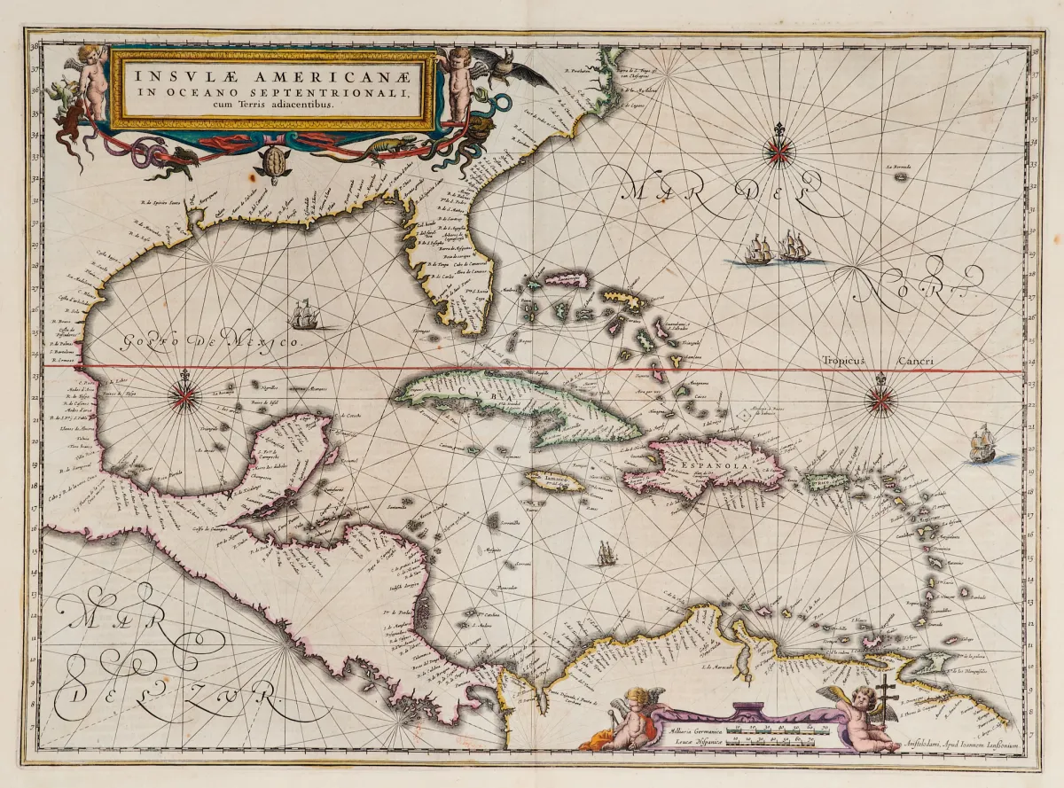
Old hand-coloured copper engraving map with 2 coloured figural cartouches, ship staffage and compass roses, from "Newer Atlas", at J. Janssonius in Amsterdam, 1644-58. 37.5 x 51.5 cm. Van der Krogt I, 9600:1 1:424/27. Burden 248 (state 1 of 2).
Terris adiacentibus" (mit der Südspitze Floridas und Mittelamerika). Alt grenzkolor. Kupferstichkarte mit 2 kolor. figürl. Kartuschen, Schiffsstaffage und Kompassrosen, aus "Newer Atlas", bei J. Janssonius in Amsterdam, 1644-58. 37,5 x 51,5 cm. (25) - Van der Krogt I, 9600:1 1:424/27. Burden 248 (state 1 of 2): "Here Janssonius, Hondius' partner, uses the Blaeu map of the same title produced the previous year. Cartographically the map draws on the extremely rare chart by Hessel Gerritsz, c. 1631, reflecting the firsthand knowledge of Gerritsz during his voyage to South America and the West Indies undertaken in 1628". - Mit deutschem Rückentext.
Machine translation. The seller's German text is authoritative.
Sale conditions
About the sale
America - Caribbean - "Insulae Americanae in Oceano Septentrionali, cum Terris adiacentibus"
Original titleAmerika - Karibik - "Insulae Americanae in Oceano Septentrionali, cum
Offered by

Similar lots
 No bids