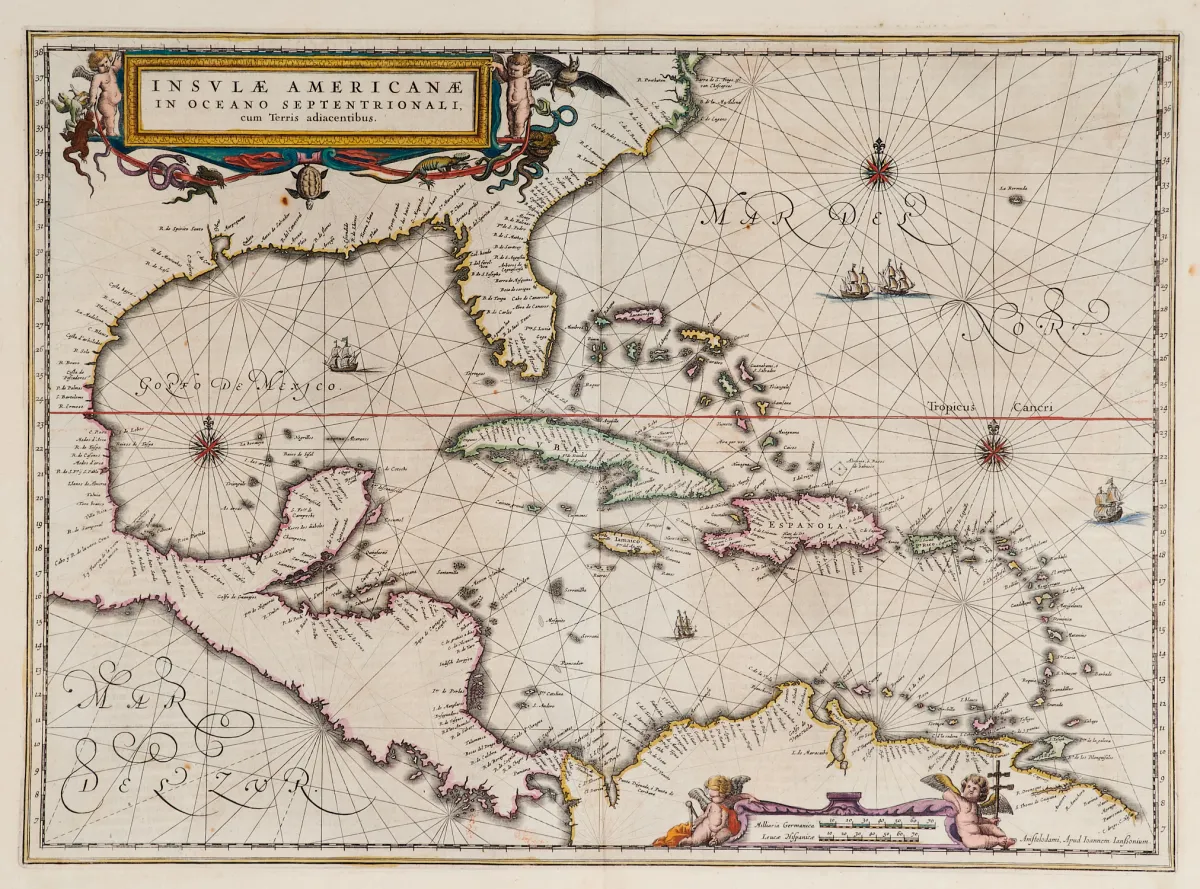
Terris adiacentibus(含佛罗里达南端和中美洲)。旧式边界着色铜版地图,带 2 个彩色人物饰框、船只点缀和罗盘玫瑰,出自 "Newer Atlas",J. Janssonius 出版于阿姆斯特丹,1644-58 年。37,5 x 51,5 厘米。(25) - Van der Krogt I, 9600:1 1:424/27。Burden 248(state 1 of 2):"Here Janssonius, Hondius' partner, uses the Blaeu map of the same title produced the previous year. Cartographically the map draws on th
Terris adiacentibus" (mit der Südspitze Floridas und Mittelamerika). Alt grenzkolor. Kupferstichkarte mit 2 kolor. figürl. Kartuschen, Schiffsstaffage und Kompassrosen, aus "Newer Atlas", bei J. Janssonius in Amsterdam, 1644-58. 37,5 x 51,5 cm. (25) - Van der Krogt I, 9600:1 1:424/27. Burden 248 (state 1 of 2): "Here Janssonius, Hondius' partner, uses the Blaeu map of the same title produced the previous year. Cartographically the map draws on the extremely rare chart by Hessel Gerritsz, c. 1631, reflecting the firsthand knowledge of Gerritsz during his voyage to South America and the West Indies undertaken in 1628". - Mit deutschem Rückentext.
自动翻译。以拍卖行的德语文本为准。
关于拍卖
美洲 - 加勒比 - "Insulae Americanae in Oceano Septentrionali, cum"
原始标题Amerika - Karibik - "Insulae Americanae in Oceano Septentrionali, cum

相似拍品
 无出价
 无出价
 无出价
 无出价