Beskrivelse
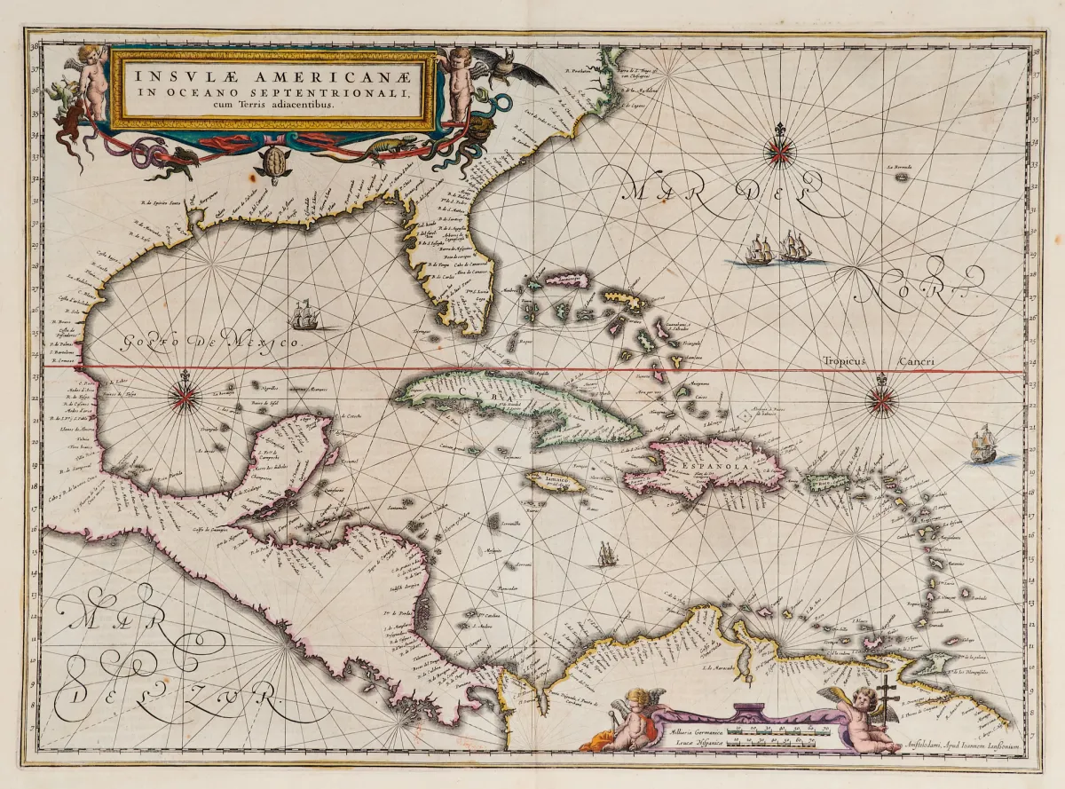
Terris adiacentibus (med Floridas sørspiss og Mellom-Amerika). Kobberstikk-kart med gammel grensefargelegging, 2 kolorerte figurlige kartusjer, skipsstaffasje og kompassroser, fra "Newer Atlas", hos J. Janssonius i Amsterdam, 1644-58. 37,5 x 51,5 cm. (25) - Van der Krogt I, 9600:1 1:424/27. Burden 248 (state 1 of 2): "Here Janssonius, Hondius' partner, uses the Blaeu map of the same title produced the previous year. Cartographically the map draws on th
Terris adiacentibus" (mit der Südspitze Floridas und Mittelamerika). Alt grenzkolor. Kupferstichkarte mit 2 kolor. figürl. Kartuschen, Schiffsstaffage und Kompassrosen, aus "Newer Atlas", bei J. Janssonius in Amsterdam, 1644-58. 37,5 x 51,5 cm. (25) - Van der Krogt I, 9600:1 1:424/27. Burden 248 (state 1 of 2): "Here Janssonius, Hondius' partner, uses the Blaeu map of the same title produced the previous year. Cartographically the map draws on the extremely rare chart by Hessel Gerritsz, c. 1631, reflecting the firsthand knowledge of Gerritsz during his voyage to South America and the West Indies undertaken in 1628". - Mit deutschem Rückentext.
Automatisk oversettelse. Den tyske teksten fra auksjonshuset er gjeldende.
Salgsbetingelser
Om auksjonen
Amerika - Karibia - "Insulae Americanae in Oceano Septentrionali, cum"
Original tittelAmerika - Karibik - "Insulae Americanae in Oceano Septentrionali, cum
Tilbys av

Lignende partier
 Uten bud
 Uten bud
 Uten bud
 Uten bud